Bioregional Mapping
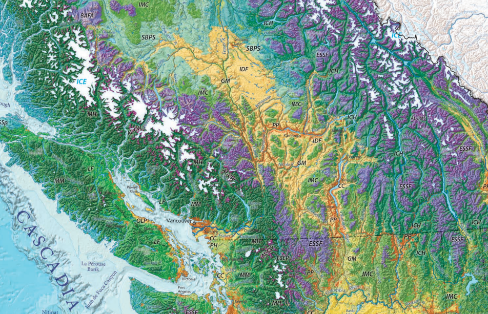
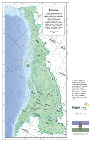
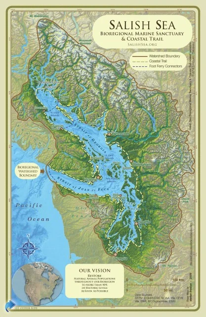
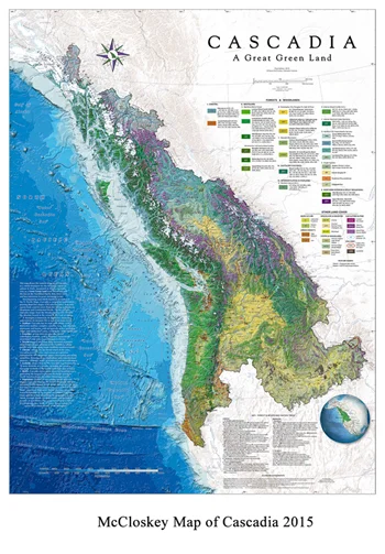
Bioregional mapping starts with water. Where conventional maps trace political borders, bioregional maps follow the lines the land itself draws: watersheds, mountain ranges, coastlines, and ecosystems. Seen this way, Cascadia appears not as a set of states and provinces but as a connected whole, shaped by the waters that gather in its mountains and flow to the Pacific.
Maps are among the most powerful tools the bioregional movement has. They change how people see the place they live, and they make visible the relationships between communities that share the same waters. The maps and posters collected here are maintained by the Department of Bioregion as a public resource for education, organizing, and everyday use.
Maps of Cascadia
Each of these maps approaches the bioregion from a different angle: its watersheds, its ecoregions, and the region as a single landform. Attribution follows each map.


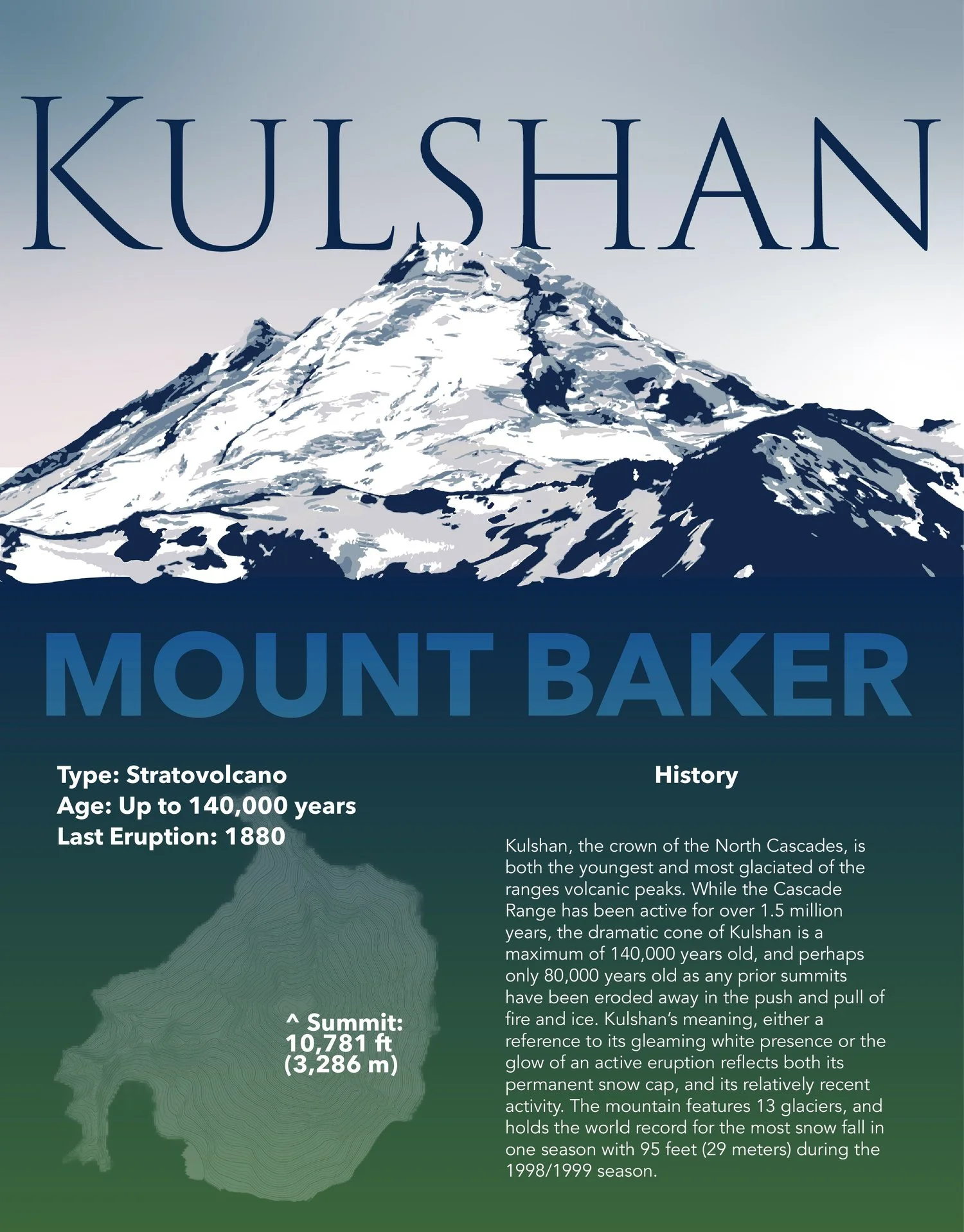
Posters and Art
Posters and artwork from the movement’s archive.


Going Deeper
Maps open the door; reading carries you further in. For books, articles, and a bibliography on Cascadia and bioregionalism, visit the library. For an overview of the bioregion itself, see facts and figures about Cascadia.
Are We Missing Something?
This collection grows through the movement. If you know a map, atlas, or mapping project that belongs here, let us know.